Rochester Castle, 1215

Posted on Fri 27 November 2020 in history • Tagged with history, cartography, warfare

I used the remarkable silhouette of Rochester Castle, Kent, UK to create an icon to represent besieged cities in the upcoming Warfare in the Age of Crusades - The Latin East. Available 2021!

Rochester Castle is no stranger to siege warfare. In October 1215 King John besieged it. The intractable task …


Continue reading
Manzikert 2021

Posted on Thu 26 November 2020 in history • Tagged with history, cartography, warfare

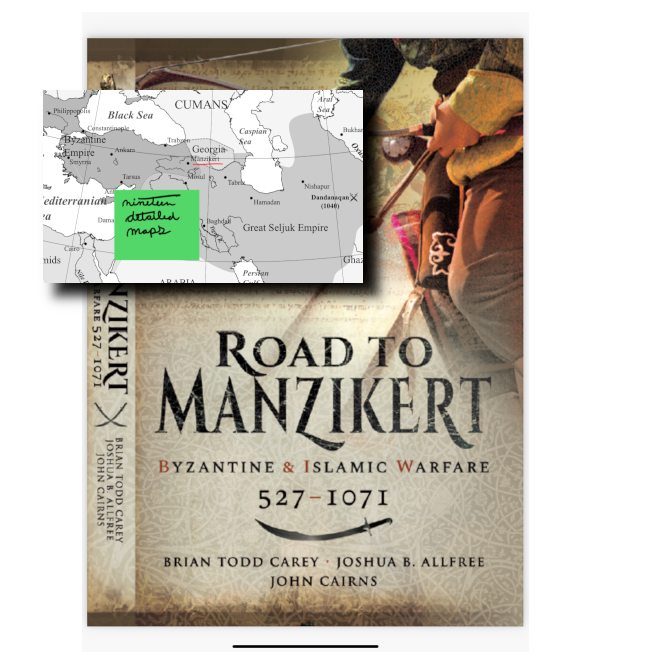
Road to Manzikert chronicles the history of the Byzantine Empire and it’s series of conflicts with the Islamic world. For the first time it will be available in paperback starting in March 2021. Pen and Sword Books #history #military #cartography

Manzikert 2021


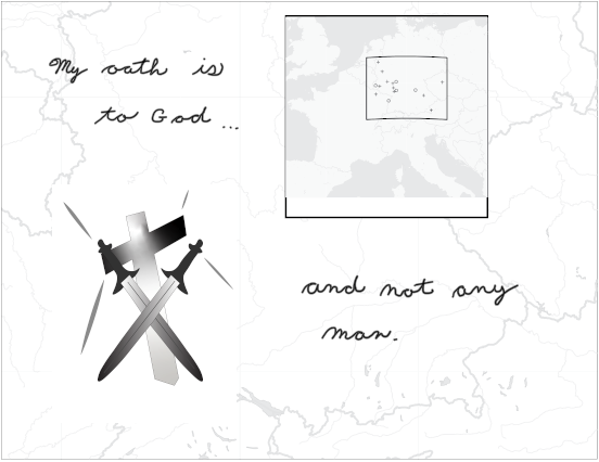
Massacre Sites during the German Crusade, 1096

Posted on Mon 12 October 2020 in history • Tagged with history, cartography, art, illustrator, mapping, crusades

After 20 years since the start of the first book, I have started work illustrating the historical maps for Warfare in the Age of Crusades: Volume One: The Latin East - Coming 2021!

Truthfully, the technology has gotten easier to work with in 2020.

The Jewish Massacres during the German Crusade, 1096


The Crusades

Posted on Mon 05 October 2020 in history • Tagged with history, cartography, art, illustrator, mapping, crusades, warfare

I've started work on Warfare in the Age of Crusades: Volume One: The Latin East

Tabula Rasa: 1095 or now?

Blank Slate


Hannibal's Last Battle

Posted on Thu 18 October 2007 in history • Tagged with books, cartography, warfare

The Punic Wars, brought down to one morning on a North African plain.


Continue reading

Warfare in the Medieval World

Posted on Thu 01 June 2006 in history • Tagged with books, cartography, warfare

More than a thousand years of war, from Justinian's Byzantium to the Thirty Years' War.


Continue reading